OUR TECHNIQUES
Scientific Approach
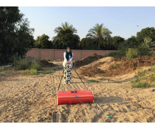
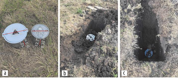
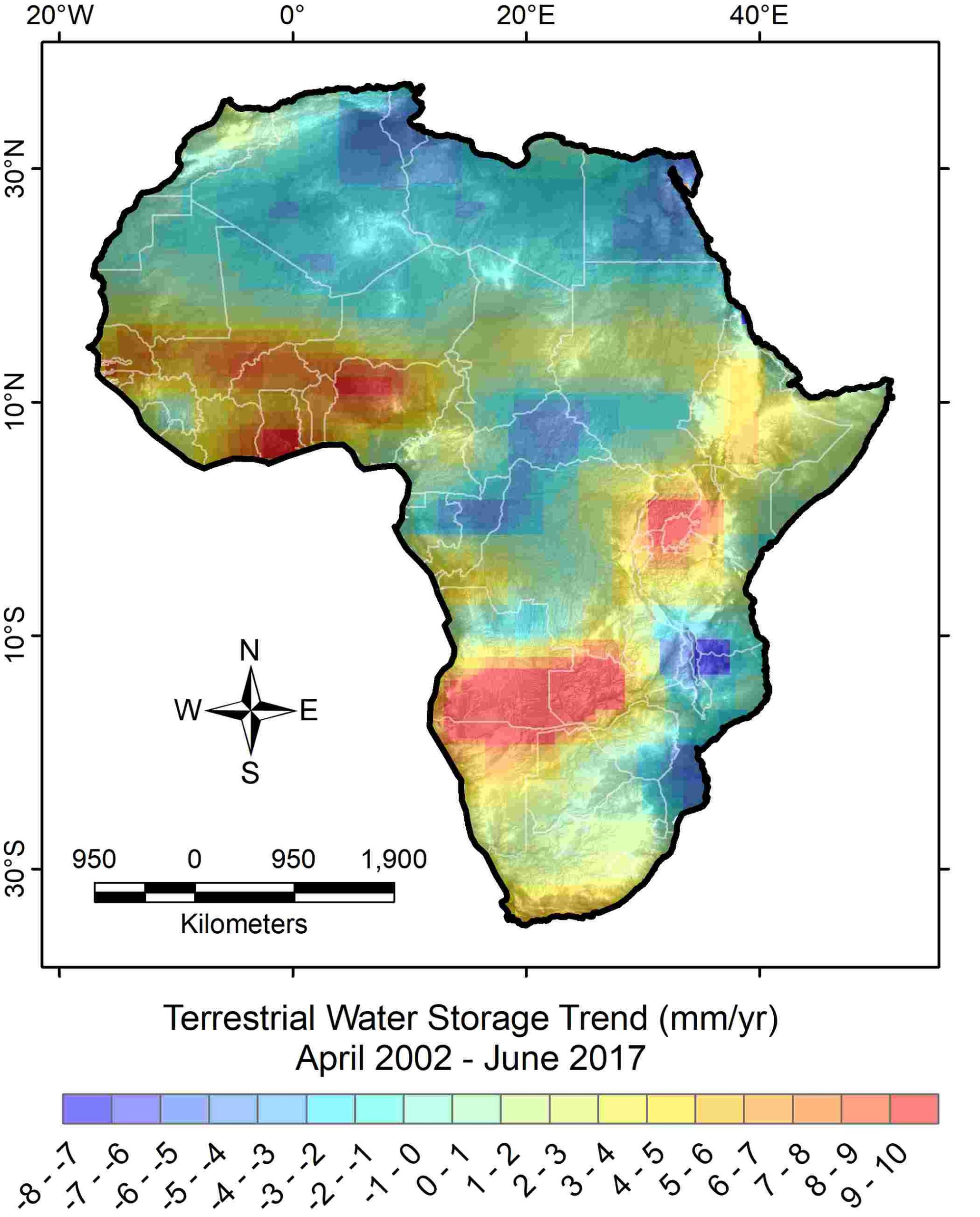
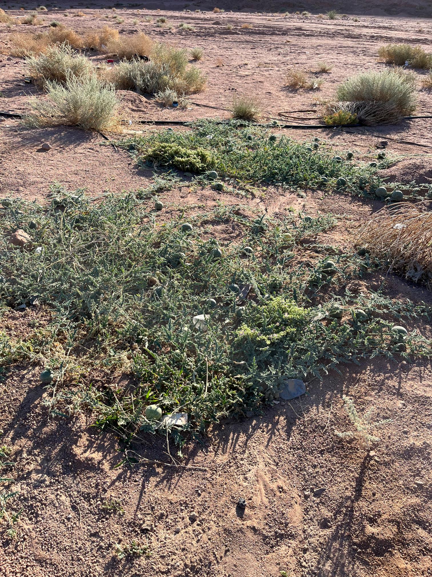
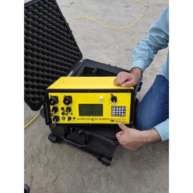
Global Geosolutions LLC utilizes geophysical techniques, geographic information systems (GIS), remote sensing, and numerical and machine learning modeling technologies to deliver effective solutions.
We acquire high-quality field data, collect and integrate remote sensing and geospatial datasets, apply advanced processing and modeling techniques, provide thorough interpretation and analysis of the results, and document our findings through detailed technical reports, visualizations, or scientific publications.
- State-of-the-Art
- Field-Tested
TECHNIQUES
Geophysical, Remote Sensing,
Geospatial, & Modelling
Get in Touch
To help us best serve your inquiry, we recommend that you first describe the service you need and/or what you want to achieve. You may also email us to make an appointment. Our general response time is one business day.