Electrical Resistivity: Basics and Geotechnical Applications
About Course
The resistivity technique is based on the principle that electric potentials measured around a current-carrying electrode are influenced by the electrical resistivities of the underlying materials. This module covers the fundamentals of the DC resistivity technique, including both 1-D and 2-D resistivity surveys. Data processing and interpretation techniques are also included. The application of DC resistivity methods in addressing geological and geotechnical problems is also discussed.
Period:
• Four weeks (condensed module)
• Eight weeks (full module)
Contents:
• Fundamentals of DC survey
o Apparent resistivity
o Electrode arrays
o Depth of penetration
o Noise in electrical surveys
• DC resistivity surveys
o Metal electrodes
o Non-polarizing electrodes
o Cables
o Generators and transmitters
o Receivers and detectors
• DC resistivity profiling
o Choice of array
o Presentation of profiling data
• Resistivity depth-sounding
o Choice of array
o Presentation of sounding data
• Electrical Resistivity Imaging (ERI)
o Electrical resistivity tomography (ERT)
o Choice of array and depth of investigation
o Topographic effects
o Time-lapse measurements
• Processing of resistivity data (AGI EarthImager software)
• Interpretation of resistivity data
• Applications and case studies
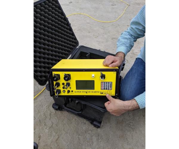
• Field acquisition of 1-D and 2-D resistivity data (AGI SuperSting resistivity system)
Participants will develop field and software-oriented skills on how to:
• Conduct 1-D and 2-D resistivity surveys in the field.
• Process and visualize resistivity data.
• Interpret 1-D and 2-D resistivity data.
• Use DC resistivity surveys to address different geological and geotechnical problems.
Student Ratings & Reviews
No Review Yet
Details
- category
- October 22, 2024 Last Updated