Ground Penetrating Radar (GPR): Basics and Applications
About Course
Ground Penetrating Radar (GPR) is a non-destructive geophysical method that uses electromagnetic radar pulses to image the subsurface. This module covers the fundamentals of the GPR technique, including data acquisition, processing, and interpretation. The applications of GPR in addressing geological and geotechnical problems are also discussed.
Period:
• Four weeks (condensed module)
• Eight weeks (full module)
Contents:
• GPR Basic Principles
o Maxwell’s equations
o Constitutive equations
o Material properties
• Wave Nature of Electromagnetic Fields
o Wave properties
o GPR source near an interface
o Reflection, refraction, and transmission at interfaces
o Resolution and zone of influence
o Scattering attenuation
• Signal Measurement
o Time ranges and bandwidth
o Center frequency
o GPR signal acquisition
o Characterizing system response
o Recording dynamic range
o Antennas
o Antenna directivity
o Antenna shielding
• GPR Survey Methodology
o Sampling criteria
o GPR surveys
o Common-offset reflection survey
o CMP and WRR
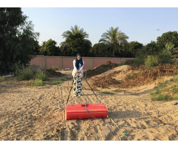
• Field acquisition of GPR data (GSSI SIR-4000 GPR system)
• Data Analysis and processing (GSSI RADAN software)
o Frequency filtering
o Deconvolution
o Migration
o Topographic correction
o Two-dimensional and three-dimensional data visualization
• Interpretation of GPR data
• GPR applications and case studies
• Conduct GPR surveys in the field.
• Process and visualize GPR data.
• Interpret GPR data.
Participants will develop field and software-oriented skills on how to:
• Use GPR surveys to address different geological and geotechnical problems.
• Conduct GPR surveys in the field.
• Process and visualize GPR data.
• Interpret GPR data.
Student Ratings & Reviews
No Review Yet
Details
- category
- October 22, 2024 Last Updated